

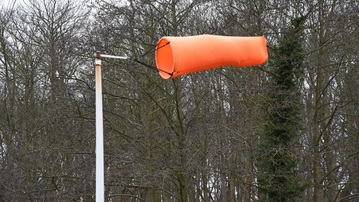
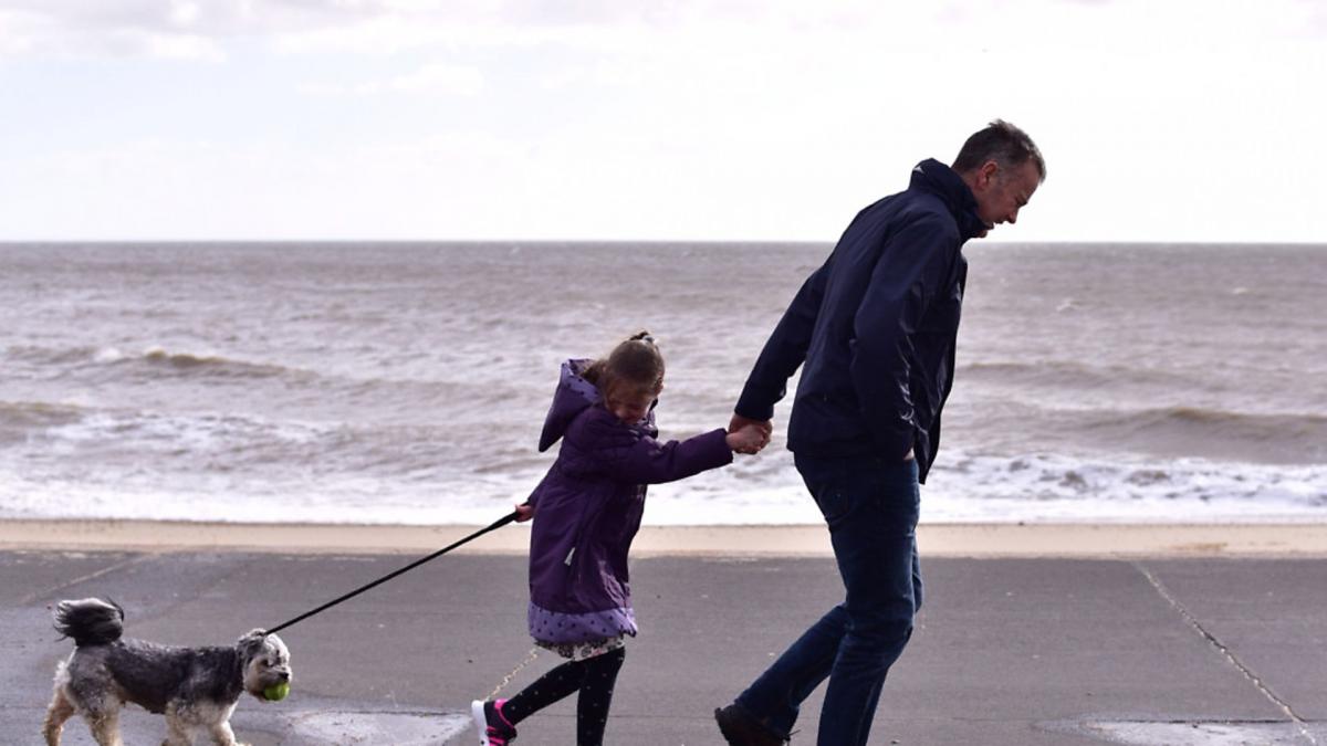
Gale force winds of up to 70mph have hit East Anglia today – here’s everything you need to know as Storm Ciara hits in Suffolk.
 Picture: SARAH LUCY BROWN")
What's the current forecast?
Wind speeds are expected to reach a high of 70mph in Suffolk and Essex, and an 'amber' weather warning is in place for the east of England for most of Sunday.
Met Office forecasters said that for our region, today is set to be very windy with widespread gales, some of which will be severe in places.
Rain will turn persistent and heavy at times, before being replaced by squally showers during the afternoon and evening.
There is a risk of tornadoes forming in the region - but forecasters Weatherquest say the chances of this happening are "minimal".
What does the 'amber warning' mean and how long will it last?
The 'amber' weather warning for wind is in place from 8am until 7pm on Sunday, February 9.
According to the Met Office, we can expect the following:
 Picture: SARAH LUCY BROWN")
- Flying debris could lead to injuries or danger to life
- Some damage to buildings, such as tiles blown from roofs expected
- Longer journey times and cancellations, as road, rail, air and ferry services affected
- Some roads and bridges closed
 Picture: SARAH LUCY BROWN")
- Power cuts with the potential to affect other services, such as mobile phone coverage
- Injuries and danger to life from large waves and beach material being thrown onto sea fronts, coastal roads and properties
How long is the Orwell Bridge closing for?
The Orwell Bridge is due to close for several hours on Sunday.
 Picture: SARAH LUCY BROWN")
On Saturday, Highways England updated its closure plans, and the bridge is now set to be closed between 4am and 7pm on Sunday.
This was due to experts analysing weather data.
Wind speeds are expected to reach 70mph, which surpasses the usual closure threshold for the bridge.
It usually closes to all traffic when speeds exceed 50mph.
 Picture: NIGEL BROWN")
On Saturday afternoon, Highways England bosses said: "Highways England is advising road users in the East of England that the Orwell Bridge in Suffolk will be closed by 4am Sunday morning (9 February 2020) for safety reasons, due to Storm Ciara and high winds.
"Once closed, Highways England will continue to monitor wind speeds closely before making a decision about when to reopen the A14 bridge, but it is expected to be closed for most of Sunday.
"The process of closing the bridge will begin at about 2am on Sunday, with a full closure in place by 4am.
They added: "The worst of the weather is expected between 4am and 7pm on Sunday but wind speeds will be assessed throughout this period.

"The bridge will start to be reopened from 7pm on Sunday if wind speeds drop to a safe level, and it will take some time to reopen the bridge."
MORE: Why does the Orwell Bridge have to close in high winds?What diversions are in place?
The usual diversion route for the Orwell Bridge, as put in place by Highways England, is via the A1156, the A1189 and A1214 through Ipswich. It will clearly signposted.
Drivers hoping to travel are encouraged to plan their journey in advance.
 Picture: ARCHANT")
Can I get a train?
Passengers are being urged not travel unless it is absolutely necessary.
Ticket restrictions are being lifted, with tickets for Sunday, February 9 valid on Monday.
Experts at Network Rail are concerned Storm Ciara could cause widespread problems to the rail network, bringing down trees and damaging overhead wires which could then take some time to repair.
Speed restrictions are likely to be put in place across most routes, which will make journeys take longer.
People with gardens near rail tracks are being urged to ensure anything that can be blown away is tied down and cannot blow onto the lines.
Network Rail bosses have warned that if there are problems it could be unsafe to send out engineers while the winds are particularly high - so there could be delays in getting any damage repaired which could delay services on Monday morning.
The firm is already due to carry out track maintenance work in Essex on Sunday, meaning there are not due to be any trains between Ipswich and Ingatestone - but with the high winds there could be much wider disruption.
An hourly service is running from Liverpool Street to Chelmsford, and some trains have already been cancelled.
- Use Greater Anglia's JourneyCheck tool for more information.Which local parks and attractions are closing?
Some open spaces cannot be locked and people living nearby are advised to avoid wooded areas when the wind speeds are at their highest.
Closure of Christchurch Park will affect Christchurch Mansion opening times - if the park remains closed, so too will the Mansion.
An Ipswich Borough Council spokesman said: "It is hard to predict exactly when and how strong this latest storm will be but we always advise residents to take precautions."
Here is a list of attractions, markets and parks we know are closing on Sunday:
- Bury St Edmunds farmer's market. Organisers have cancelled the popular market, saying that stallholder and customer safety had to come first
- Sutton Hoo has also confirmed it will be closed on Sunday with its planned close-up photography workshop also cancelled
- Mannings Market, Felixstowe, will not be taking place this weekend
- Alton Water will be closed from 4pm on Saturday, February 8, and all day on Sunday - an inspection will be then held on Monday
- Alton Water Frostbite, the latest edition of the sailing event, has fallen foul of the weather. Extra races are planned in upcoming weeks to make up
- High Lodge in Brandon will be closed all day on Sunday for the safety of visitors and staff
- Organisers of the Festival of Light at Haughley Park have announced it will be shut on Sunday - tickets will be valid for any of the other days it is open
- The National Trust's Ickworth estate will be closed on Sunday, this will include the West Wing. The estate will then be assessed on Monday morning
- Suffolk FA have announced all youth and adult Suffolk County Cup fixtures planned for Sunday have been cancelled.
How can I keep safe?
Met Office weather experts are urging people to be prepared, stay safe and protect their property.
Before the storm
- Secure loose objects such as ladders, garden furniture or anything else that could be blown into windows and other glazing and break them
- Close and securely fasten doors and windows, particularly those on the windward side of the house, and especially large doors such as those on garages
- Park vehicles in a garage, if available - otherwise keep them clear of buildings, trees, walls and fences
- Close and secure loft trapdoors with bolts
- If the house is fitted with storm shutters over the windows, then ensure that these are closed and fastened
- If chimney stacks are tall and in poor condition, move beds away from areas directly below them
During the storm
- Stay indoors as much as possible
- If you do go out, try not to walk or shelter close to buildings and trees
- Keep away from the sheltered side of boundary walls and fences - if these structures fail, they will collapse on this side
- Do not go outside to repair damage while the storm is in progress
- If possible, enter and leave your house through doors in the sheltered side, closing them behind you
- Open internal doors only as needed, and close them behind you
- Take care when driving on exposed routes such as bridges, or high open roads, delay your journey or find alternative routes if possible
- Slow down and be aware of side winds, particular care should be taken if you are towing or are a high sided vehicle
- Do not drive unless your journey is really necessary
After the storm
- Be careful not to touch any electrical/telephone cables that have been blown down or are still hanging
- Do not walk too close to walls, buildings and trees as they could have been weakened
- Make sure that any vulnerable neighbours or relatives are safe and help them make arrangements for any repairs
Stay up to date with our live blog which will bring you the latest forecast, travel updates and road closures as they happen.


Comments: Our rules
We want our comments to be a lively and valuable part of our community - a place where readers can debate and engage with the most important local issues. The ability to comment on our stories is a privilege, not a right, however, and that privilege may be withdrawn if it is abused or misused.
Please report any comments that break our rules.
Read the rules here